Welcome to Hoffman Land Surveying and Geomatics
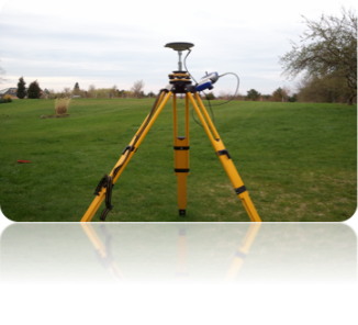
Hoffman Land Surveying and Geomatics was started to assist and support Architectural, Engineering, and Environmental firms along with Municipal Agencies and individuals who are in need of traditional Land Surveying services as well as services associated with Geomatics such as Geographical Information Systems (GIS), Laser Imaging (LIDAR) and GPS services.
At Hoffman Land Surveying and Geomatics, working as a cohesive team member, listening to our clients, and providing the best customer service is our highest priority.
Experienced. Reliable. Responsive.
Mission:
Our mission is to listen to clients' needs and project objectives and offer techniques and methods to provide cost-effective solutions and quality products.
Professional Memberships:
We are a member of the New York State Association of Professional Land Surveyors, Genesee Valley Land Surveyor Association, and the Pennsylvania Society of Land Surveyors.
We invite you to review our services and contact us to discuss your next project to discuss how Hoffman Land Surveying and Geomatics can be your best resource in assisting you in the success of your next project.